

The Missing Data Point in Disaster Response
Human reports fill the gaps that telematics can’t during disasters. Here’s how fleets can use structured input (not social chaos) to respond faster and safer.


BBM
When disasters hit, fleets and public agencies lean heavily on telematics dashboards, GPS pings, and sensor data. But even the most sophisticated systems can fall short in the moments that matter most.
The missing data point, according to Eron Iler, president of Fleetistics and CEO of PubSafe, is often the human one.
“People in the disaster are the ones who see and understand a situation in real time,” Iler explained. “Transferring that information to responders is key to an effective response.”
What Traditional Data Misses
Fleet systems excel at tracking vehicles, assets, and routes. But disasters introduce variables that don’t always show up on a screen.
During hurricanes, for example, cellular networks often fail. Without satellite capability, fleet tracking can disappear just when it’s needed most. That gap makes it harder to align help requests, damage assessments, and asset locations.
“The integration of help requests, damage assessments, and asset location helps align resources and improve response time and outcomes,” Iler noted. “Information silos, either across resources or between organizations, reduce efficiency.”
In other words, knowing where a truck is doesn’t automatically tell you where help is needed most or who is best equipped to respond.
“The industry is in the infancy of using structured data,” Iler said. “The most common example is the use of forms. Most NGOs use very simple forms but forms aid in collecting the minimum necessary data to initiate a viable response.”
One issue, he added, is that data collected by NGOs and even government agencies is often not shared with others.
However, platforms such as PubSafe were built to centralize data, helping all responding groups view and share data more easily internally and externally.
The Three Variables That Drive Response
According to Iler, effective disaster response comes down to three core variables.
“Response time and quality rely on three variables,” he explained, which include:
- Location. Where is the person in need of help?
- Skill. Where is the responder with the correct skills for the situation?
- Resources. Where is the nearest resource to enable a skilled responder to provide the help needed?
Telematics can help answer the first part. But employee and public reporting often fill in the other two, especially when conditions shift rapidly. For example, a driver may report that a road is technically open but impassable due to debris. A member of the public may flag a downed power line that sensors haven’t yet detected. That context helps dispatchers make better, faster decisions.
Structured reporting is already being used in simple but meaningful ways.
“The most common example is the use of forms,” Iler reiterated. “Forms aid in collecting the minimum necessary data to initiate a viable response.”
The limitation, he said, is not the structure itself but the lack of shared visibility across responding organizations.
BBM
When Infrastructure Fails
Mobile reporting using PubSafe becomes even more critical when the communications infrastructure is unstable.
“We are seeing the addition of Starlink to regular smartphones,” Iler said. “This expands the opportunity for communication and information sharing during a disaster.”
Satellite communication, he added, is likely to improve the ability to share media and use mobile apps during emergencies. That includes large files, such as photos and videos, that can validate field conditions.
FEMA, State EOCs, and NGOs need a unified view of resources and help requests, validated through media and multiple reports from crowdsourced data. One emerging possibility is equipping vehicles with satellite-connected dashcams.
“A Starlink modem in a dashcam would allow ‘street view’ type video from mobile assets,” Iler noted. “Media tends to confirm or reject what people are sharing in data collected by platforms.”
That kind of visual verification can reduce uncertainty and speed up prioritization.
Crowd-sourced data collection is a key component of that unified view.
“We’ve integrated Geotab telematics location data with PubSafe to bring asset and victim location together in one view,” Iler said.
What Good Reporting Looks Like in the First Hours
The first hours of a disaster are a flood of information, and the real skill is sorting it into something responders can act on. Responders must move quickly from noise to structure.
“The first few hours are generally chaos,” Iler said. “SitReps, help requests, rumors, radio calls, and word of mouth are all very active and coming from every direction.”
Iler recommended that fleets ingest and document the information.
“One person cannot mentally track more than about two incidents without writing down the details,” and he emphasized that scale demands systems. “A system to collect, potentially hundreds or thousands of help requests and updates, and share that information, is required.”
In practical terms, effective reporting in the early hours means capturing consistent data fields, documenting updates, and ensuring that information can be shared across teams in real time.
Avoiding Data Overload During Disasters
Of course, more reporting can also mean more noise. One common mistake fleet organizations make when incorporating crowdsourced information is relying heavily on social media feeds.
“They turn to social media, which is unstructured data,” Iler explained. “Long social feeds with limited, incomplete, or inaccurate information consume time trying to collect the needed details and waste time in the field dealing with bad or outdated information.”
The solution, he argued, is structure.
“Standardization is a big part of managing data overload,” Iler said. “Utilizing forms which categorize and feed into systems structures data so it can be shared and used across systems.”
Structured platforms like PubSafe, which guide users through specific fields such as location, incident type, and severity, can transform raw reports into actionable intelligence.
Another common mistake when blending human reporting with telematics is failing to properly location-tag requests.
“Location tagging reports is essential,” Iler said. “In every disaster response precious time is wasted trying to get to the victim. In some cases, this may be life and death.”
He pointed to rooftop rescues in New Orleans as an example of how exact location data changes outcomes.
“With exact location data, rescues become much more efficient. Tracking helicopters, airboats, trucks, and boats in real-time offers an immediate association with people in need.”
Without that visibility, responders can miss critical moments.
“A truck may pass right by someone needing help at night, but not know it unless location data is available from the victim and asset and visible to a central management view,” he added.
Lessons Across Fleet and Public Safety
Despite differences in mission and technology, public safety agencies and commercial fleets share similar operational realities during disasters.
“The process of dispatching an electrician is the same as sending a first responder or NGO volunteer to a help request,” Iler said. “There are differences in technology, but the process is generally the same across disasters.”
Location and weather remain central to both. Delivering the right information at the right time, in the right format, allows decision-makers to move more quickly.
As artificial intelligence tools become more prevalent, Iler expects them to take on a greater share of the analytical burden.
“AI will be doing the analysis and highlighting problems and solutions in real time,” he noted. Using AI to “translate” unstructured data into structured data is a logical progression.
But even the best algorithms still depend on quality inputs.
The Role of Volunteers and Prioritization
Different disaster types may shift the specifics, whether wildfires, winter storms, or hurricanes. But the operational framework remains consistent.
Enabling volunteers and NGOs to participate in large-scale disasters can improve outcomes, Iler said. The key is prioritization.
“Prioritizing who handles what type of request becomes the key to safety,” he explained.
In extreme situations, federal, state, and local governments may not be able to respond to every need immediately. Structured reporting systems can help with triage requests and match them to the right responder, whether that is a fleet crew, a public agency, or a nonprofit volunteer.
“Empowering volunteers and organizations to utilize initiative is a key component to responding immediately following a large disaster,” Iler noted. “Decentralized decision-making is required at the lowest and broadest level.”
As help requests subside, organization and structure return, and central management regains overall operational control.
Preparing Before the Next Event
For fleets, the time to build reporting processes is before the next storm makes landfall.
According to Iler, the central question is operational continuity. “How do you prepare operations when normal systems are not available so work can continue?” he asked.
Satellite connectivity is one option. For approximately $400 per vehicle for hardware and about $50 per month for service, fleets can maintain near-normal operations even when cellular networks fail, Iler explained. Services can be activated month-to-month, making them easier to justify from an ROI standpoint.
“In most companies that average $150 per hour in revenue, this investment is an easy one even if the devices remain on the shelf for years,” he noted.
For low-margin businesses, pausing operations during recovery may make sense. But for fleets delivering high-value goods or services, maintaining connectivity could mean staying operational while competitors wait weeks for infrastructure to recover.
Ultimately, telematics and sensor data remain essential. But in a disaster, the clearest picture often comes from blending systems data with structured human input.
The missing data point is not more dashboards. It is the people on the ground, equipped with the tools to report what they see and the infrastructure to make sure it reaches the right decision-maker in time.
Free Download: Disaster Reporting Readiness Checklist for Fleets
Get a printable checklist designed to help you stay prepared and recover faster from a disaster. Fill out the form and download today!
More Disaster Response
From Storm Prep to Emergency Response: The Growing Role of Telematics in Disaster Management
Telematics is transforming disaster response by giving fleets real-time visibility, improving routing, readiness, and coordination when every second counts.
Read More →
Disaster Readiness Is Not a Fleet Count, It’s a Stress Test of the Whole System
Fleet readiness isn’t about your vehicle count. It’s about condition, capacity, and whether your system can actually perform under stress.
Read More →
How Fleets Keep Fuel Flowing During Disasters
U.S. Bank Voyager explains the most common fleet payment failures during emergencies and how proactive planning helps keep vehicles moving when conditions deteriorate.
Read More →
The Waffle House Effect: How They Impacted How Storms are Measured While Keeping Hot Meals Ready
Why one restaurant chain became a benchmark for disaster response and what fleets can learn about readiness, operations, and recovery.
Read More →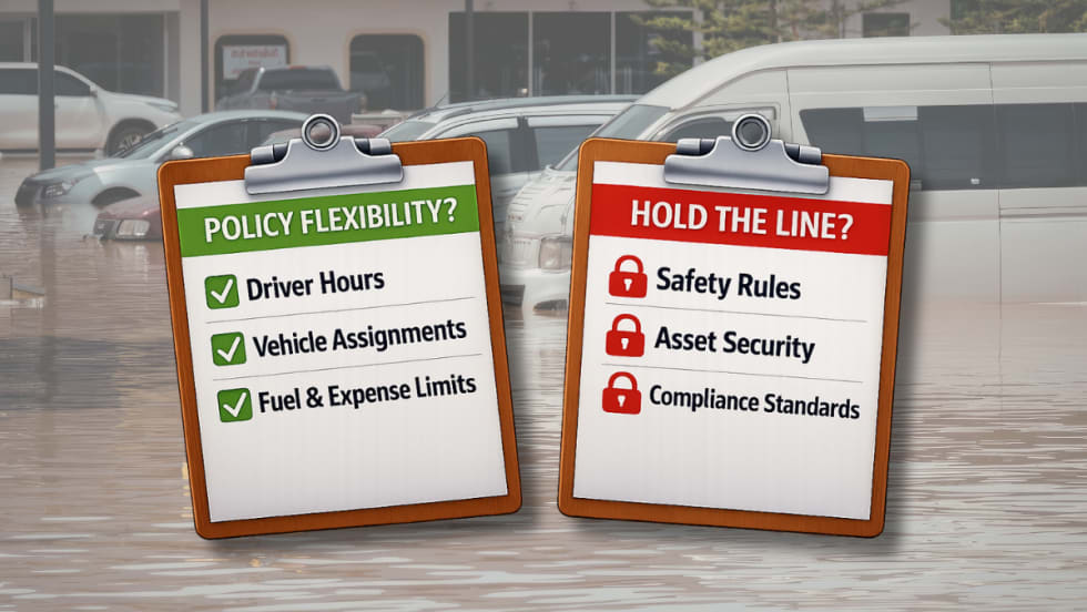
Adapting Fleet Policy When Disasters Strike
In the middle of natural disasters fleet managers must shift priorities to protect people and assets. What policy items should be loosened, and when should the line be held?
Read More →
When Fuel Runs Out, the Fleet Plan Falls Apart
When disaster hits, fleets fail on fuel, power, and idle planning. See the energy gaps fleet managers need to fix before the next storm.
Read More →
Essential Strategies for Fleet Preparation and Protection During Hurricane Season
Prepare your fleet for hurricane season with proactive strategies to protect drivers, vehicles, and assets before, during, and after the storm.
Read More →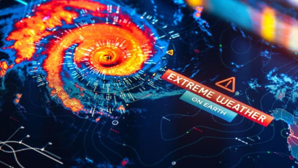
When Disaster Strikes: Equipping Your Fleet for Survival and Recovery
Discover how fleets can stay operational during hurricanes, wildfires, floods, and storms with strategic planning, technology, and data-driven maintenance.
Read More →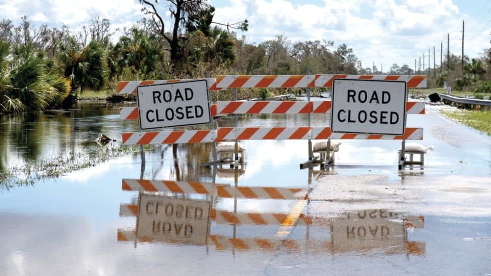
Mobilizing for Recovery When it Matters Most
When disaster strikes, reliable transportation becomes a lifeline for recovery, ensuring first responders and relief crews can reach those in need most.
Read More →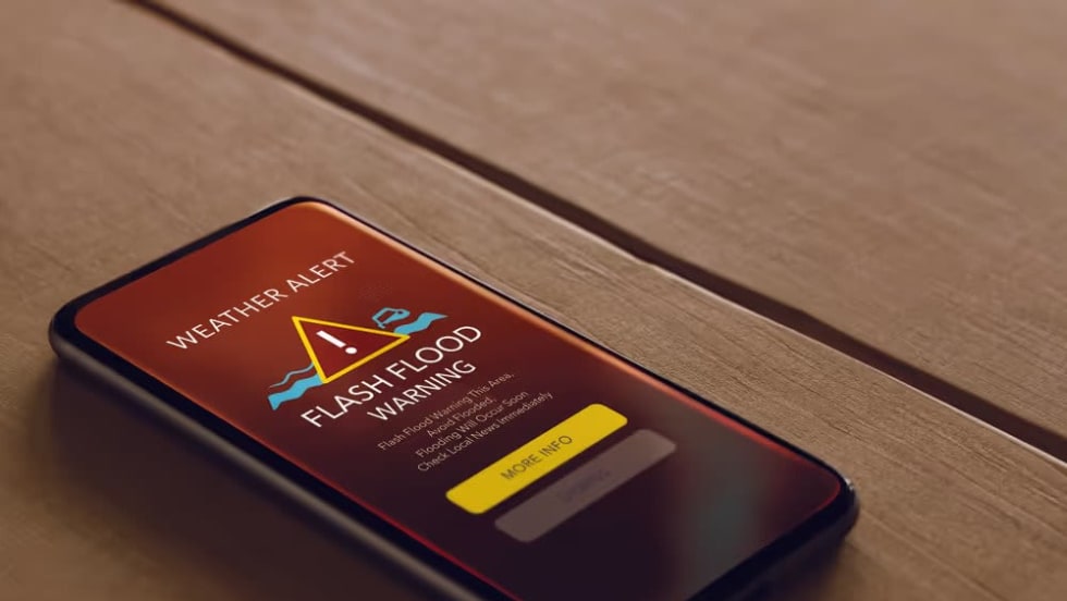
My GPS Position on Weather Apps
Discover how hyper-local weather alerts paired with GPS telematics can protect workers from sudden storms. Are your crews prepared for the unexpected?
Read More →