




Paragon’s Routing Software Updated With Improved Mapping
Paragon Software Systems has added new capabilities to its routing and scheduling solutions that brings in real world data about street-level mapping, road speeds, and truck attributes.

Photo courtesy of Paragon Software Systems

Photo courtesy of Paragon Software Systems
Paragon Software Systems has added new capabilities to its routing and scheduling solutions that brings in real world data about street-level mapping, road speeds, and truck attributes.
The additional modules add precision to transportation plans based on real-world data, creating a truer reflection of actual driver journeys that are more realistic.
“When producing a transportation plan, managers want to get as close to reality as possible,” said William Salter, CEO and resident, Paragon Software Systems. “These modules make the plans more accurate so that the slack often included within the plan goes from an average of 15% to 0%, meaning that you can give your customers much more accurate delivery times at lower costs.”
The Street Level Mapping module is designed to improve dense drop delivery performance, urban planning efficiency and planning accuracy. It is aimed at dense urban transport operations like home delivery and optimizes schedules by offering:
Direction of Travel (One-Way)
Turn Restrictions (No Left, Right or U-Turn)
Street Level Routing Functionality
Address-Range Geocoding
The Average Road Speed Data module provides a calculated average speed in each direction on road links for which enough speed data is available. It is calculated using historical traffic flow velocities captured for a mix of vehicle types to improve journey time estimates.
Truck Attribute Data has been added to prevent detours and reduce mileage. It streamlines the creation of cost effective transport plans that avoid truck restrictions by:
Featuring physical height, weight, width and length (HWWL) information for primary, main and some secondary road networks
Including similar non-physical restrictions that apply 24/7 such as travelling at certain hours only within a residential section
Enabling the automatic calculation of transport plans that avoid, for example, low bridges when using high vehicles
For more information, click here.
More Operations

Fleet Has a Talent Pipeline Problem. What Comes Next? | AF News Recap
Where will fleet’s next generation of leaders come from? This week, we’re looking at the industry’s talent pipeline, what certification can add to a fleet career, how to build an award-worthy track record, and the return of Automotive Fleet’s Personal Use Survey.
Read More →
Smith System Launches Driver Risk Management Program
Fleets have more driver data than ever, but identifying risky behavior doesn't necessarily correct it. Smith System's new Driver Risk Management program combines monitoring, training, and follow-up coaching to help fleets connect risk signals with driver intervention.
Read More →
Automotive Fleet Opens 2026 Personal Use Survey for Commercial Fleet Managers
Less than two weeks left! Commercial and corporate fleet managers are invited to share how their organizations handle company vehicle personal-use policies, charges, and driver eligibility.
Read More →
From AI Prompts to AI-Generated Safety Songs | AF News Recap
Can better prompts make AI more useful for fleet managers? This week, we’re breaking down smarter fleet analysis, an AI-assisted experiment that turned safety training into music, and what happened to fuel prices in August.
Read More →
How to Write Better AI Prompts for Fleet Analysis
Include these six elements in your fleet prompts to generate more relevant analysis and accurate answers.
Read More →
Fleet Meets: Eric Kilgore
This edition of the Fleet Meets series features one of the industry's best leaders driving multi-market and national operations.
Read More →
Why Reactive Fleet Management Is Becoming Too Expensive to Sustain
Research highlights a growing need for proactive management strategies to address rising costs in fleet operations effectively.
Read More →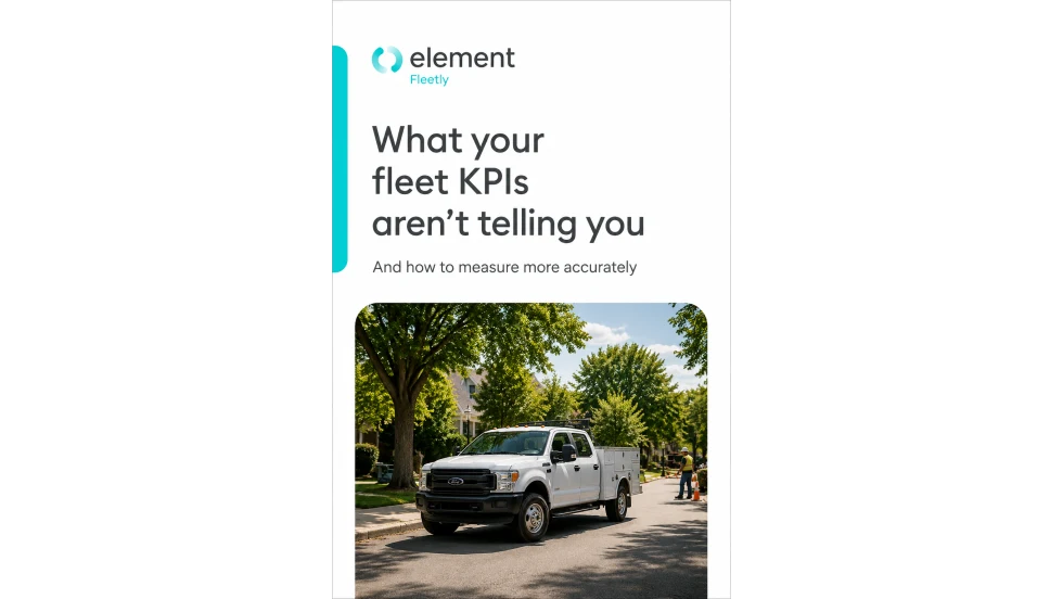
What Your Fleet KPIs Aren’t Telling You
Tracking fleet metrics is only useful when the data leads to better decisions. This guide helps fleet leaders assess cost, utilization, and downtime more accurately, identify performance gaps, and prioritize the actions that can improve operational results.
Read More →
Hidden in Plain Sight: Fleet Compliance Risks
Fleet compliance isn't just about having policies — it's about consistently enforcing them. This practical guide reveals six hidden compliance risks common in public sector and shared fleet operations and outlines proven strategies to improve visibility, accountability, and audit readiness
Read More →
Turning Fleet Payment Data into Executive Insights
Does data alone drive results in operations?
Read More →