

XATA Adds Enhanced Mapping Capabilities to Fleet Management Solution
MINNEAPOLIS – XATA Corporation will add improved digital mapping software to its XATANET on-demand fleet operations software to help better track exact vehicle location and improve route details.
MINNEAPOLIS – XATA Corporation will add improved digital mapping software to its XATANET on-demand fleet operations software, according to www.marketwatch.com. The upgraded mapping software will provide XATANET end-users with more high-quality data, including larger and more dynamic maps, to help better track exact vehicle location and improve route details. Available in November 2008, the enhanced mapping capability is part of the XATANET 4.3 release.
XATA will deliver these improved capabilities by leveraging Microsoft Virtual Earth maps, which gives XATANET customers additional maps for vehicle tracking and provides additional geographic tracking capabilities for fleet operators. Microsoft Virtual Earth also pulls geographic data directly from the Web for up-to-the-minute vehicle tracking.
XATANET 4.3 includes a new mapping user-interface that provides enhanced ease-of-use benefits, such as keyboard shortcuts and real-time map updates. Mapping enhancement highlights include:
Draggable maps, which enable users to quickly pan and see a broader view of the highlighted geographical area, giving an enhanced view of a vehicle's location.
Increased customization, which allows users to include information specific to delivery routes.
Increased map visibility, with the ability to show road detail, aerial photographs, or both.
Improved GPS positioning controls for more accurate delivery and pickup location information.
Increased capacity to handle more data points and more accurate map details.
For more information, visit xata.com.
More Telematics

Teletrac Navman Begins Next Chapter as Standalone Private Company
What's new with Teletrac Navman and its new owner?
Read More →
Why Fleets Are Creating Dedicated Fleet Analyst Positions
Telematics, AI, EVs, and connected technologies are generating more fleet data than traditional teams can effectively manage. Reed Jackson explains why dedicated fleet analytics roles are emerging to turn that information into better operational decisions.
Read More →
Deleting Driver Data Is No Longer Enough in Connected Vehicles
A factory reset may erase what's stored inside a vehicle, but it doesn't always end a former driver's digital connection. Here's how fleets can make digital offboarding part of every vehicle transition to reduce privacy, security, and compliance risks.
Read More →

How AI Can Help Fleet Managers Build Their Own Solutions
Syneos Health Fleet Manager Kristin Leary is exploring how AI-powered development tools, telematics data, and predictive analytics could help fleets solve operational challenges without waiting for a vendor roadmap.
Read More →
Cameras, Safety and Insurance: From Reactive Claims to Real-Time Prevention (Part 2 of 2)
Part Two: Commercial auto remains one of the most challenging and costly lines of coverage for fleet operators and insurers alike. Continue learning more about how to effectively address these issues from Onur Aksan, Enterprise Business Development Executive, Geotab
Read More →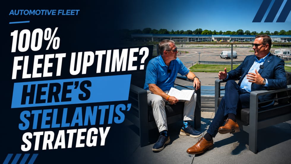
100% Fleet Uptime? Here's Stellantis' Strategy
Keeping commercial vehicles on the road is becoming just as important as getting them into service. Stellantis’ U.S. fleet chief Michael Ferreira shares how connected technology and AI are changing the way fleets manage uptime.
Read More →
Waymo vs. Tesla Robotaxi: Side-by-Side Ride-Hailing Test Highlights Different Approaches to Autonomy
Video comparison in Austin contrasts traditional Uber service with autonomous offerings from Waymo and Tesla Robotaxi.
Read More →
Paying for a Fire Hose, Drinking from a Garden Hose: Getting the Full Value of Your Telematics
Why fleets struggle to turn telematics data into real-world results and how to fix it.
Read More →
Building Smarter Cybersecurity Policies for Fleet Operations
As fleet operations become increasingly connected, cybersecurity can no longer be treated as an IT issue alone. Building effective policies requires a proactive approach that protects vehicles, data, and operational systems while ensuring employees, vendors, and technology partners follow consistent security standards.
Read More →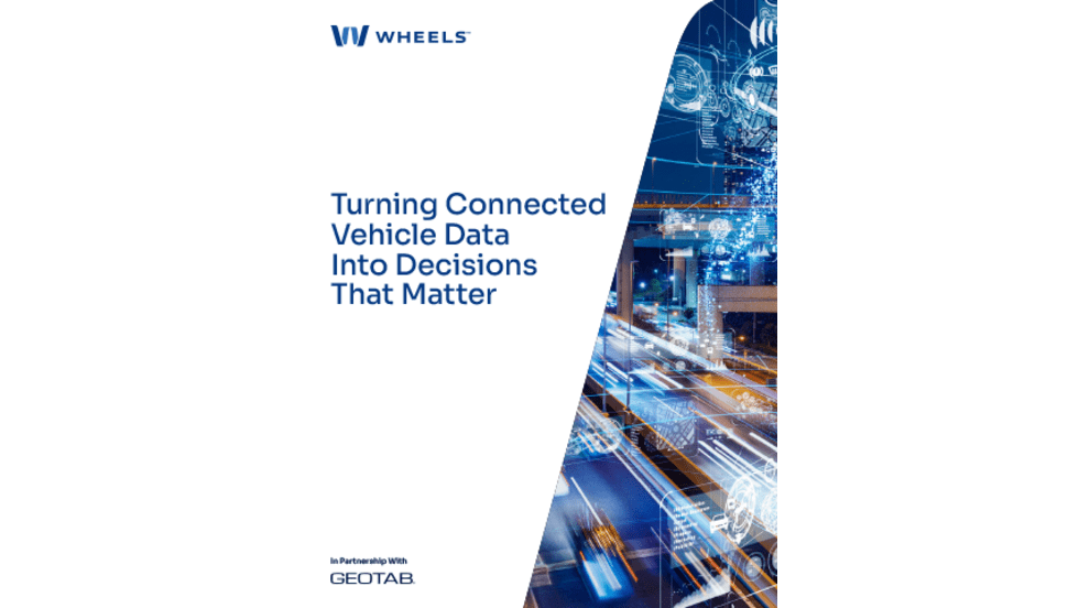
Turning Connected Vehicle Data Into Decisions That Matter
Fleet leaders have more data than ever, but turning that data into clear, actionable decisions remains a challenge. This white paper shows how leading organizations are using connected vehicle data to improve safety, reduce costs, and optimize fleet performance. Learn how to turn insight into action across your fleet.
Read More →