




Top Cellphone-While-Driving Roads Identified
Roads with the highest observed cell phone use from commercial drivers in 2018 were located in the Los Angeles port complex, Tennessee's second largest city of Memphis, and Irving, Texas, according to a new study by video telematics and analytics provider Lytx.


The roads with the highest cellphone use among drivers included the Los Angeles port complex (shown), according to a Lytx study.
Photo via Hyfen/Wikimedia.
Roads with the highest observed cell phone use by commercial drivers in 2018 were located in the Los Angeles port complex, Tennessee's second largest city of Memphis, and Irving, Texas, according to a new study by video telematics and analytics provider Lytx.
The study reveals the top 10 stretches of road where Lytx observed the most driver cell phone use. Based on Lytx client data from around the country, the study identifies half square-mile road segments that had the highest volume of observed cell phone use behind the wheel last year. To arrive at its findings, Lytx studied telematics data from public and private fleets in the trucking, waste, transit, government, construction, and field services industries.
The intersection of Compress Drive and South Lauderdale Street in Memphis leads the way followed by Ferry Street and CA-47 at the Los Angeles port complex. TX-482-SPUR W near Century Center Boulevard in Irving ranks third, while a second area of Memphis — East Homes Road and Lamar Avenue — takes fourth place.
Other areas of the country that ranked among the top 10 for containing roads with the highest driver cell phone use include the Port of Los Angles; Edison, N.J; Hutchins, Texas; the Port of Long Beach, Calif.; Las Vegas; and Bloomington, Calif.
The study also identified the top five riskiest half square-mile road stretches of 2018 in each of the five most populated U.S. states — California, Illinois, Florida, New York and Texas.
The majority of concentrated risk fell in high-density areas, including cities, ports, and road stretches with interchanges or on/off ramps, where there are a high volume of merging vehicles and overall activity, note the study authors.
Specifically, the data indicates areas of Long Beach, Calif.; New York City; and Berkeley, Ill. have the riskiest roads of the top five populous states in the nation.
Drivers who use handheld cell phones while driving are around 50% more likely to get into a collision within 90 days than drivers who do not, according to Lytx.
More Safety
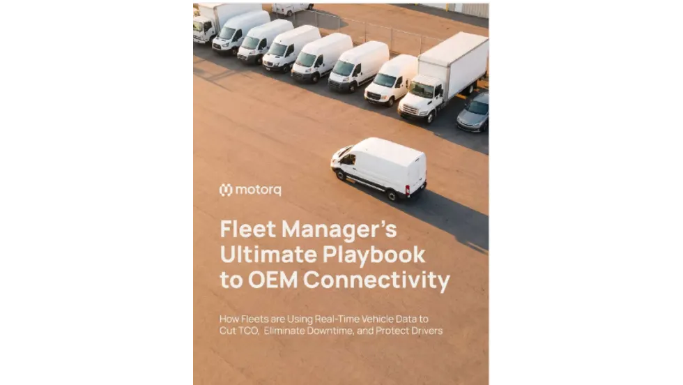
Fleet Manager’s Ultimate Playbook: Navigating the New Standard in OEM Connectivity
Rising operating costs, driver safety concerns, and unplanned downtime are putting unprecedented pressure on modern fleets. Discover how fleet managers use embedded OEM connectivity and real-time vehicle data to cut TCO, prevent downtime, and protect drivers without aftermarket telematics hardware.
Read More →
From Driver Well-Being to EV Charging | AF News Recap
Mental health belongs in the fleet safety conversation. This week, we’re looking at five ways fleets can support employee well-being before a crisis, plus Holman’s expansion in Mexico, new one-day Fleet Forward passes, and why EV charging demand is outpacing infrastructure growth.
Read More →
Nexar-Nauto Merger Aims to Give Fleets Better Safety Intelligence Through Larger Driving Dataset
Stefan Heck tells Automotive Fleet that combining more than 10 billion miles of driving history with Nexar's AI models will give fleets deeper insights into driver risk and roadway conditions than either company could provide independently.
Read More →
Don't Wait for a Crisis: 5 Ways to Build Mental Health Into Your Fleet Safety Program
For Suicide Prevention Month, fleet and safety leaders have an opportunity to put mental health where it belongs: at the center of workplace safety.
Read More →
How Camera Data Can Strengthen a Fleet’s Insurance Renewal
Insights from a commercial insurance carrier and a broker show how fleets can turn video telematic data, driver coaching, and improved claims results into a stronger case at insurance renewal.
Read More →
The Safest Fleets Aren’t the Ones with the Most Technology
You’ve made the telematics investment. Here’s how to capture the other half of its value and build the safest fleet on the road.
Read More →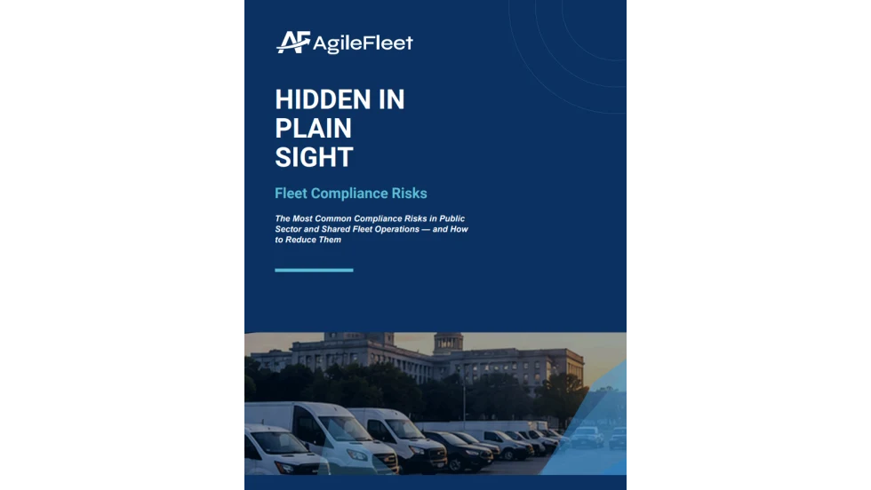
Hidden in Plain Sight: Fleet Compliance Risks
Fleet compliance isn't just about having policies — it's about consistently enforcing them. This practical guide reveals six hidden compliance risks common in public sector and shared fleet operations and outlines proven strategies to improve visibility, accountability, and audit readiness
Read More →
NETS Sets 2026 Fleet Safety Benchmark Conference for Indianapolis
The Sept. 15–17 program will feature fleet benchmarking data, case studies, emerging technologies, and implementation strategies while running alongside the NSC Safety Congress & Expo.
Read More →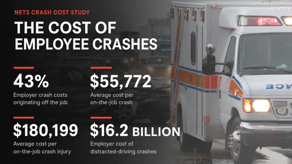
Off-the-Job Crashes Account for 43% of Employers’ $61.7 Billion Crash Burden
NETS quantifies costs dispersed across fleet, risk, HR, and other departments while providing new per-crash benchmarks for employers.
Read More →
Ram Recalls More Than 1.27 Million 1500 Pickups for Seat Belt Anchor Issue
The recall affects certain 2019-2026 Ram 1500 pickups that may have improperly attached second-row seat belt buckle anchors.
Read More →