

Tips on Preparing for Hurricane Season
MIAMI --- The National Oceanic and Atmospheric Administration's Climate Prediction Center announced that projected climate conditions point to a near normal or above normal hurricane season in the Atlantic Basin this year.
MIAMI --- The National Oceanic and Atmospheric Administration's Climate Prediction Center announced that projected climate conditions point to a near normal or above normal hurricane season in the Atlantic Basin this year.
The prediction was issued last week at a news conference called to urge residents in vulnerable areas to be fully prepared for the onset of hurricane season, which begins June 1.
"Living in a coastal state means having a plan for each and every hurricane season. Review or complete emergency plans now -- before a storm threatens," said retired Navy Vice Adm. Conrad C. Lautenbacher, undersecretary of commerce for oceans and atmosphere and NOAA administrator. "Planning and preparation is the key to storm survival and recovery."
The Climate Prediction Center outlook calls for considerable activity with a 65 percent probability of an above normal season and a 25 percent probability of a near normal season. This means there is a 90 percent chance of a near or above normal season.
The climate patterns expected during this year's hurricane season have in past seasons produced a wide range of activity and have been associated with both near-normal and above-normal seasons. For 2008, the outlook indicates a 60 to 70 percent chance of 12 to 16 named storms, including six to nine hurricanes and two to five major hurricanes (Category 3, 4 or 5 on the Saffir-Simpson Scale).
GMAC Insurance has prepared a list of tips for hurricane season.
Before the first sign of an approaching hurricane:
1. Create a disaster supply kit and store it -– along with automotive essentials -– in the car you'll use to evacuate. Be sure to include:
-- Jumper cables
-- Basic toolkit
-- Shovel for digging out if your car gets stuck
-- Emergency flares
-- Rain gear / umbrella
-- Extra clothes
-- Blanket
-- Bottled water
-- Non-perishable food
-- Bug spray
-- First-aid kit
-- Flashlight and extra batteries
-- AM/FM weather band radio (battery-operated)
-- Cell phone and charger
-- Camera (to take pictures of damage)
-- Plastic garbage bags
-- Tarp (to protect damaged property)
-- Cash (ATMs don't work without power)
2. Keep copies of your auto registration, title and insurance papers in your car, and store the originals in a safe, dry place.
3. Fill your car's gas tank so you're able to drive a long distance without needing to stop.
At the first warning sign:
4. Evacuate as soon as possible. If leaving by car:
-- Go to your destination immediately. Don't drive around to look at damage.
-- Avoid driving through standing water. If water is deeper than 10 inches, leave your vehicle and head for high ground.
-- Be aware of your surroundings. Roads, bridges and water banks may be weak and could collapse.
-- Steer clear of low-hanging wires and anything touching them.
-- Treat intersections without working traffic lights as four-way stops.
5. Safeguard the vehicles you're not using:
-- Store your car in a garage or carport to avoid falling trees and flying debris.
-- If you have to leave your car outside, move it to high ground and out of the path of possible falling trees or structures.
-- Move grills, patio furniture, trash cans, potted plants, toys, bikes and other loose objects into your house or garage. Tie down anything that you can't move indoors.
6. When the hurricane hits, stay out of your car and go to a safe place.
During the aftermath:
7. Take pictures of any damage.
8. If your engine was under water, don't start the vehicle. Try to physically remove the water to begin drying it out.
9. Cover your vehicle to prevent further damage until proper repairs can be made.
10. Save all receipts for towing and repairs, so that you can be reimbursed for your out-of-pocket expenses.
This year's hurricane season starts Sunday, June 1. An average season has 11 named storms, including six hurricanes for which two reach major status.
Tropical systems acquire a name -– the first of which for 2008 will be Arthur -– upon reaching tropical storm strength with sustained winds of at least 39 mph. Tropical storms become hurricanes when winds reach 74 mph, and become major hurricanes when winds reach 111 mph.
Bill Read, director of NOAA's National Hurricane Center, said, "Our forecasters are ready to track any tropical cyclone, from a depression to a hurricane, which forms in the Atlantic Basin. We urge coastal residents to have a hurricane plan in place before the season begins and NHC will continue to provide the best possible forecast to the public."
When a storm forms in the tropics -– and even before that stage -– NOAA forecasters at the Miami-based National Hurricane Center are in continuous monitoring mode. They employ a dense network of satellites, land- and ocean-based sensors and aircraft reconnaissance missions operated by NOAA and its partners. This array of data supplies the information for complex computer modeling and human expertise that serves the basis for the hurricane center's track and intensity forecasts that extend out five days in advance.
More Safety
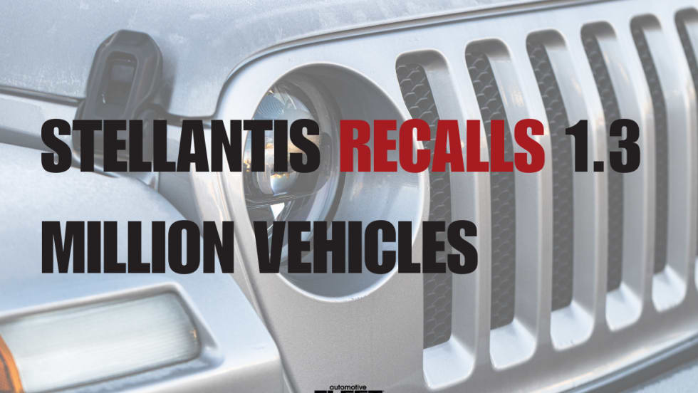
Stellantis Recalls 1.3 Million Jeep Vehicles Worldwide Over Fire Risk
Stellantis is recalling more than 1.3 million Jeep Wrangler and Gladiator models worldwide over a fire risk linked to power steering pump wiring.
Read More →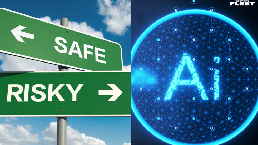
Coaching Is Not Training, Even When AI Is Doing It
AI-powered safety platforms can detect risky behaviors and deliver immediate feedback. But effective driver development still requires a foundation of training followed by coaching that reinforces those skills.
Read More →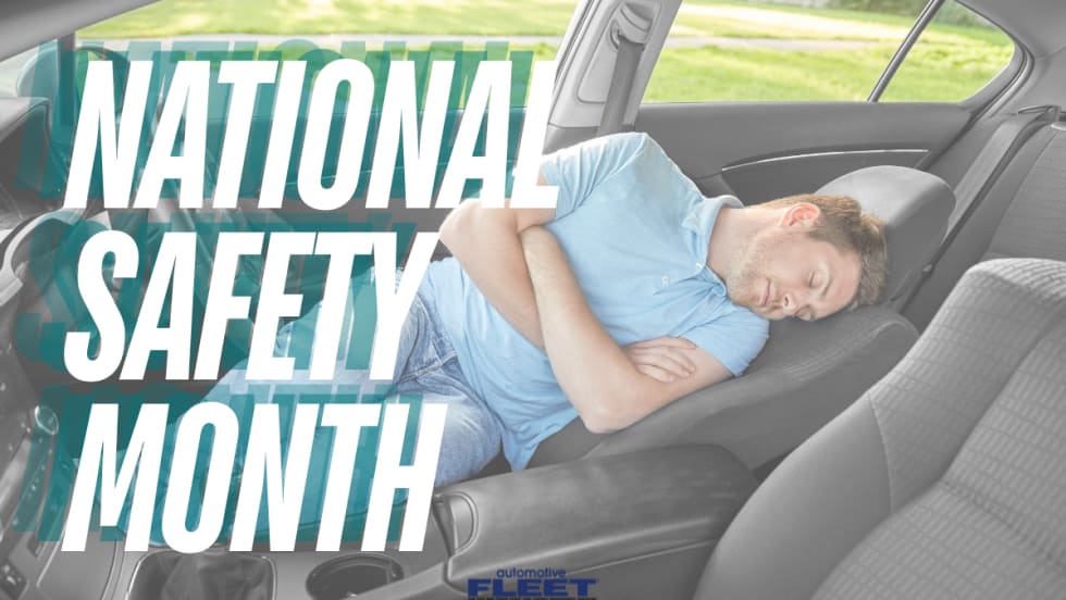
How Emotions Behind the Wheel Can Affect Fleet Safety
During National Safety Month, fleets are encouraged to look beyond distracted driving and recognize how stress, fatigue, and emotional well-being influence driver performance and crash risk.
Read More →

Nominations Open for 2026 Fleet Safety Award
Nominations have officially opened for the 2026 Fleet Safety Award Winner.
Read More →
Turning Connected Vehicle Data Into Decisions That Matter
Fleet leaders have more data than ever, but turning that data into clear, actionable decisions remains a challenge. This white paper shows how leading organizations are using connected vehicle data to improve safety, reduce costs, and optimize fleet performance. Learn how to turn insight into action across your fleet.
Read More →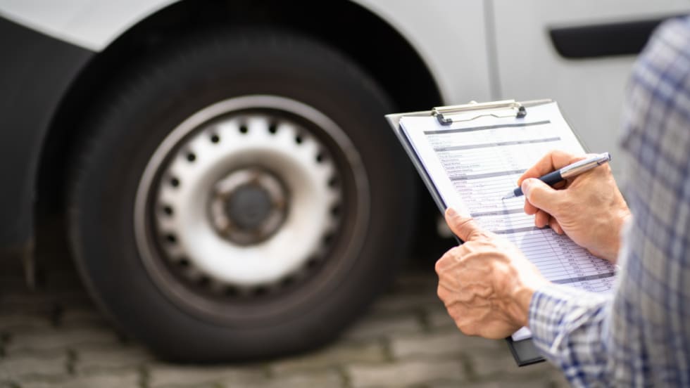
Cameras, Safety and Insurance: From Reactive Claims to Real-time Prevention
Commercial auto remains one of the most challenging and costly lines of coverage for fleet operators and insurers alike. Learn more about how to effectively address these issues from Onur Aksan, Enterprise Business Development Executive, Geotab.
Read More →
NAFA Fleet Safety Symposium to Collocate With 2026 Fleet Forward Conference
The daylong certificate program will precede the Fleet Forward Conference at the Gaylord National Harbor in Maryland.
Read More →
The Distractions You Can’t Turn Off: What Drivers Face Outside the Vehicle
Fleet drivers face constant visual, cognitive, and environmental interruptions the moment they hit the road. From roadside chaos to mental fatigue and digital overload, today’s biggest driving risks often come from outside the vehicle itself.
Read More →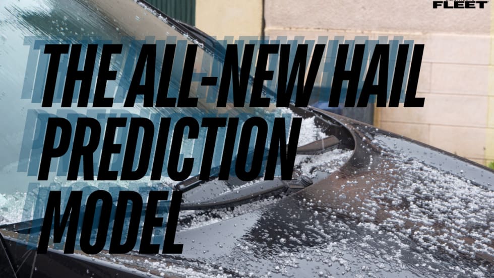
FLASH Weather AI Launches First Deep-Learning Hail Prediction Model With High-Resolution Forecasting
FLASH Weather AI has launched a first-of-its-kind hail prediction model capable of forecasting hail size and arrival time at 1-kilometer resolution up to 55 minutes ahead, giving fleets and insurers critical time to prepare for severe storms.
Read More →
How Coca-Cola United Protects Its Fleet from Growing Legal Risk
As litigation risk rises, vehicles are increasingly targeted. This Coca-Cola bottler shares how it’s reducing exposure through driver training, technology, and a proactive risk management approach.
Read More →