



Study: GPS Shortcuts May Save Time But Up Crash Risk
A new study from Texas A&M compares routes between five metropolitan areas and finds navigation systems often guide drivers to take paths that carry a greater risk of collisions.


Researchers say their study findings indicate a need for considering safety, not just efficiency, in GPS route-finding.
Photo: Pexels.com/mike
A new study from Texas A&M researchers finds thattaking a route with an 8% reduction in travel time could increase the risk of being in a crash by 23%, reports Texas A&M Today.
The researchers compared routes between five metropolitan areas and found navigation systems often guide drivers to take paths that carry a greater risk of crashes. Specifically, the team evaluated both the safest and shortest routes between five metropolitan areas in Texas — Dallas-Fort Worth, Waco, Austin, Houston, and Bryan-College Station — including more than 29,000 road segments.
Ultimately, they concluded that shortcuts might be long on saving time, but short on ensuring motorists’ safety.
While a GPS system is designed to offer the most efficient route, it doesn't always take all key factors that can lead to a collision into consideration. For example, GPS tools don't necessarily factor in poor geometric designs, drainage problems, lack of lighting, and a higher risk of wildlife-vehicle collisions.
In the case of Texas A&M, the researchers gathered and combined road and traffic characteristics, including geometry design, number of lanes, lane width, lighting and average daily traffic, weather conditions and historical crash data to analyze and develop statistical models for predicting the risk of being involved in crashes.
The findings revealed inconsistencies in the shortest and safest routes. In clear weather, taking the shortest route instead of the safest between Dallas-Fort Worth and Bryan-College Station will reduce the travel time by 8% — yet the probability of a crash increases to 20%. The analysis suggests that taking the longest route between Austin and Houston with an 11% increase in travel time results in a 1% decrease in the daily probability of crashes.
The researchers note that navigation based on safety, rather than travel time, can result in preventing crashes and promoting overall safety on the road network and eventually save lives. In fact, the team has proposed a system architecture for safe route-finding and highlighted the requirements for and barriers in incorporating safety in future navigation apps.
More Safety

What’s Next for Fleet? Safety, AI & Industry Recognition | AF News Recap
Could your company's culture be encouraging distracted driving? This week, we're exploring how workplace expectations affect driver safety, what AI, EVs, and autonomous vehicles could mean for the future of fleet management, and how fleet professionals can strengthen their award nominations.
Read More →
Does Your Fleet's Culture Encourage Distracted Driving?
What happens when the people responsible for enforcing safety rules are the ones setting the wrong example? The answer may reveal why some of the biggest risks to fleet drivers have little to do with what's written in the employee handbook.
Read More →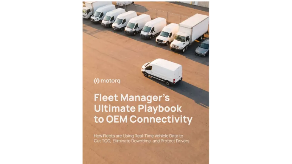
Fleet Manager’s Ultimate Playbook: Navigating the New Standard in OEM Connectivity
Rising operating costs, driver safety concerns, and unplanned downtime are putting unprecedented pressure on modern fleets. Discover how fleet managers use embedded OEM connectivity and real-time vehicle data to cut TCO, prevent downtime, and protect drivers without aftermarket telematics hardware.
Read More →
From Driver Well-Being to EV Charging | AF News Recap
Mental health belongs in the fleet safety conversation. This week, we’re looking at five ways fleets can support employee well-being before a crisis, plus Holman’s expansion in Mexico, new one-day Fleet Forward passes, and why EV charging demand is outpacing infrastructure growth.
Read More →
Nexar-Nauto Merger Aims to Give Fleets Better Safety Intelligence Through Larger Driving Dataset
Stefan Heck tells Automotive Fleet that combining more than 10 billion miles of driving history with Nexar's AI models will give fleets deeper insights into driver risk and roadway conditions than either company could provide independently.
Read More →
Don't Wait for a Crisis: 5 Ways to Build Mental Health Into Your Fleet Safety Program
For Suicide Prevention Month, fleet and safety leaders have an opportunity to put mental health where it belongs: at the center of workplace safety.
Read More →
How Camera Data Can Strengthen a Fleet’s Insurance Renewal
Insights from a commercial insurance carrier and a broker show how fleets can turn video telematic data, driver coaching, and improved claims results into a stronger case at insurance renewal.
Read More →
The Safest Fleets Aren’t the Ones with the Most Technology
You’ve made the telematics investment. Here’s how to capture the other half of its value and build the safest fleet on the road.
Read More →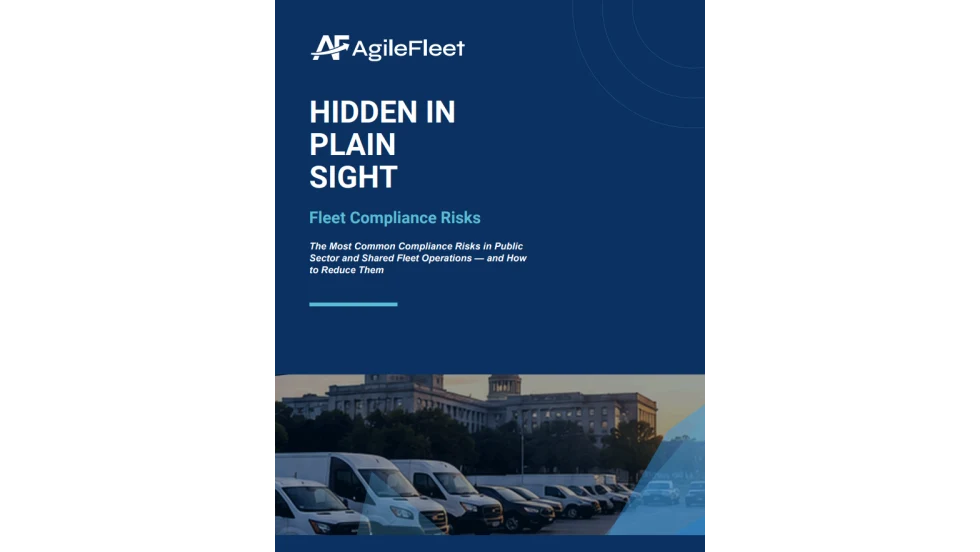
Hidden in Plain Sight: Fleet Compliance Risks
Fleet compliance isn't just about having policies — it's about consistently enforcing them. This practical guide reveals six hidden compliance risks common in public sector and shared fleet operations and outlines proven strategies to improve visibility, accountability, and audit readiness
Read More →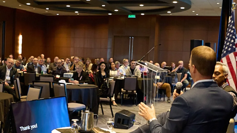
NETS Sets 2026 Fleet Safety Benchmark Conference for Indianapolis
The Sept. 15–17 program will feature fleet benchmarking data, case studies, emerging technologies, and implementation strategies while running alongside the NSC Safety Congress & Expo.
Read More →