




GeoFencing Adds to Your Truck Security Arsenal
Geofencing is a familiar fleet tool today, but its early adoption marked a major shift in vehicle tracking, route monitoring, and the debate over employee privacy.

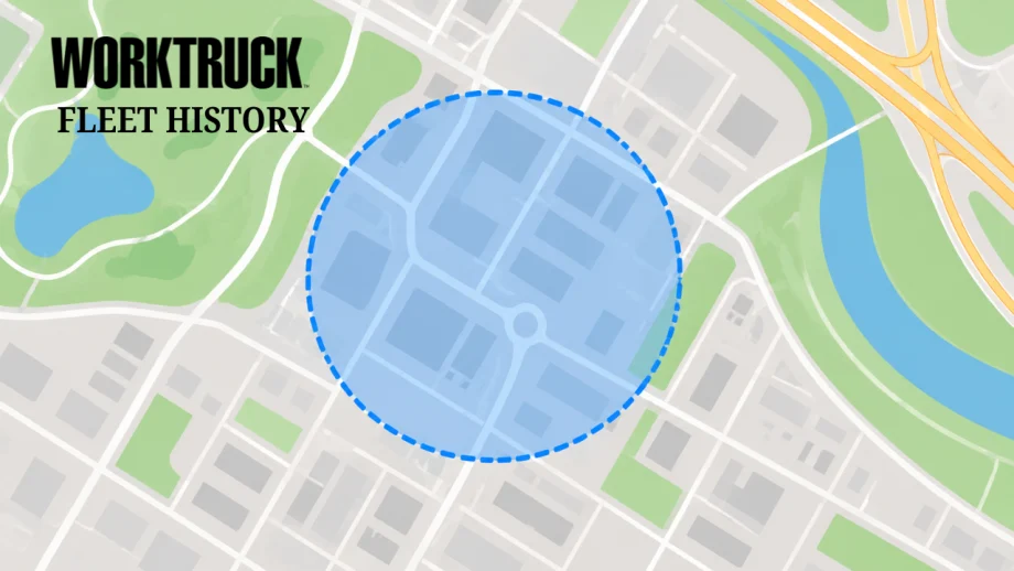
Geofencing uses virtual geographic boundaries to identify when a vehicle or tracking device enters or leaves a designated area.
Work Truck
- GeoFencing technology allows fleet managers to monitor the location and activities of their trucks in real-time.
- The implementation of tracking tools increases security by providing precise information on vehicle whereabouts.
- Potential concerns arise regarding employee privacy and relations when using such surveillance measures.
*Summarized by AI
Editor’s Note: This article was originally published when geofencing was still an emerging fleet technology. It has been updated to provide historical context while preserving examples that illustrate how fleets first approached GPS tracking, vehicle security, route monitoring, and employee privacy.
Fleet tracking technology has changed considerably since geofencing first began making its way into commercial fleet operations. What is now a familiar feature of many telematics and fleet management platforms was once an emerging tool that promised to give fleet managers something they had never had before: an automated way to know when a vehicle entered or left a defined geographic area.
Looking back at the technology's early fleet applications provides some useful perspective on how vehicle tracking evolved and why many of the same questions surrounding security, productivity, and employee privacy remain relevant.
Early Concerns About Vehicle Location
Vehicle security and unauthorized use were among the early arguments for better fleet tracking. Companies had significant investments in both their vehicles and the employees operating them. Knowing where those assets were located could potentially help protect vehicles and their contents while also giving managers greater visibility into how company vehicles were being used.
Before today's connected-vehicle and telematics systems became commonplace, fleets had far fewer ways to maintain that visibility.
Cell phones were one of the tools available. By the mid-2000s, GPS capabilities were increasingly being incorporated into mobile phones, in part because of federal requirements surrounding the location of emergency 911 calls.
But those early capabilities were a long way from the location data fleet managers can access through modern telematics platforms.
Geofencing Emerges as a Fleet Tool
Against that backdrop, geofencing began attracting attention as another way fleets could use GPS technology.
A geofence creates a virtual boundary around a geographic area. Early systems could identify when a tracking device or vehicle entered or exited that predefined area and, depending on the system, send an alert when the boundary was crossed.
For fleets, the possibilities extended beyond simply locating a truck. Geofencing could be used to identify route deviations, establish restricted areas, monitor arrivals and departures, and potentially improve fuel and operational efficiency.
Those capabilities may sound routine today, but they represented a significant change in how fleets could monitor vehicles at the time.
Maptuit, one of the companies providing geofencing services during this period, described a system that allowed customers to define named geographic regions using geocoded points and manually created boundaries. Those regions could then be used to determine whether a vehicle or device was inside or outside a designated area.
The company also offered integration with Google Earth, allowing users to draw geofence boundaries over satellite imagery.
AeroAstro, another early provider of GPS location and geofencing technology, promoted the ability to establish boundaries around normal fleet operations. Crossing those boundaries could trigger alerts and other fleet management functions.
The company saw potential applications ranging from identifying route deviations to managing vehicles crossing state or other geographic boundaries.
Truck Manufacturers Saw the Potential
Vehicle manufacturers and commercial truck companies were also beginning to incorporate GPS-based fleet management capabilities.
International Truck and Engine described geofencing as a way for fleets to establish virtual geographic areas around approved routes.
If a vehicle crossed a designated boundary, the system could provide a notification that included the time, date, and location. Fleets could also establish what were sometimes called reverse geofences, which generated alerts when vehicles entered restricted areas rather than when they left an approved one.
At the time, International pointed to applications involving safety and hazardous materials, where certain vehicles might need to avoid particular locations.
The underlying idea was straightforward: Give fleet managers greater visibility into where vehicles were operating without requiring someone to continuously monitor every truck.
The Employee Privacy Question Was Already There
Even during geofencing's early adoption, however, the technology raised questions about employee monitoring and privacy.
Some employers viewed location tracking as a way to reduce unauthorized vehicle use and improve productivity. Critics worried that increasingly precise tracking could cross the line from managing company assets into unnecessarily monitoring employees.
Writing in InfoWorld at the time, Ephraim Schwartz questioned whether employers could undermine trust by treating workers much like assets whose movements needed to be controlled.
His argument reflected a debate that would become increasingly important as GPS tracking, telematics, connected vehicles, and eventually mobile workforce technology became more sophisticated.
The technology has advanced considerably since those early discussions, but the underlying management challenge has not disappeared.
Fleet managers have more tools than ever to understand where vehicles are, where they have been, and how they are being used. Establishing clear policies about why that information is collected, how it is used, and what employees should expect remains an important part of deploying those tools responsibly.
From Emerging Technology to Everyday Fleet Tool
What once required specialized GPS services is now commonly incorporated into telematics and fleet management platforms.
Modern fleets can use geofences for far more than identifying unauthorized trips. Depending on the platform and operation, geographic boundaries can help automate arrival and departure records, verify service activity, monitor yard movements, support dispatching, identify route exceptions, and provide location-based operational data.
That makes early discussions about geofencing an interesting marker in fleet technology's evolution.
The terminology and capabilities have changed, but one of the original questions remains remarkably familiar: How can a fleet use better vehicle visibility to improve operations without losing sight of the people behind the wheel?
Quick Answers
Geofencing is a technology that uses GPS or RFID to create virtual boundaries around specific geographic areas. When a vehicle enters or exits these areas, the system triggers alerts or actions, enabling real-time tracking of fleet locations.
*Summarized by AI
Originally posted on Work Truck Online
More Global Fleet
Holman Takes Full Ownership of ARIZA in Mexico
Holman is bringing its Mexican fleet management operation fully under its own brand after more than 30 years as a joint venture. The change gives multinational fleet customers a single Holman operation across the U.S., Canada, and Mexico.
Read More →
5 Tire Maintenance Tips to Help Prevent Work Truck Downtime
Regular tire checks can do more than extend tread life. These five maintenance practices can help work truck fleets catch problems early, reduce costs, and prevent downtime.
Read More →
Proven Ways to Reduce Work Truck Downtime
The age-old problem of downtime will always be a reality, but with new strategies at hand, fleets have more ways to keep trucks on the road longer.
Read More →



Cameras, Safety and Insurance: From Reactive Claims to Real-Time Prevention (Part 2 of 2)
Part Two: Commercial auto remains one of the most challenging and costly lines of coverage for fleet operators and insurers alike. Continue learning more about how to effectively address these issues from Onur Aksan, Enterprise Business Development Executive, Geotab
Read More →
Cameras, Safety and Insurance: From Reactive Claims to Real-time Prevention
Commercial auto remains one of the most challenging and costly lines of coverage for fleet operators and insurers alike. Learn more about how to effectively address these issues from Onur Aksan, Enterprise Business Development Executive, Geotab.
Read More →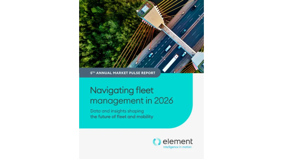
Fleet Costs Are Rising: Here’s How Leaders Are Responding
Fleet leaders are under pressure to reduce costs, adapt to economic uncertainty, and make smarter decisions. See how peers across North America are responding with real data, proven strategies, and forward-looking insights. Download the 2026 Market Pulse Report to benchmark your strategy and uncover where you can gain an edge.
Read More →
Enterprise Fleet Management Surpasses 900,000 Vehicles in U.S. & Canada
Enterprise Mobility connects with mobility solutions around the globe
Read More →
Automotive Fleet's Guide to Fleet Electrification
Unlock the secrets to a successful transition to electric fleets with Automotive Fleet's comprehensive Fleet Electrification Guide!
Read More →